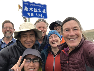
Two professors from the Department of Earth & Planetary Sciences joined a continental-scale helium study to probe the deep structure of the Tibetan Plateau and the Himalayan plate collision
Posted: April 7, 2022
The Himalayan Mountains and the Tibetan Plateau, the largest and highest geologic structures in the world, started forming some 50 million years ago through the crashing and colliding of the Asian and Indian continental plates. The Tibetan Plateau is a region about twice the elevation of the Colorado Plateau that was uplifted during the collision of the Indian and the Asian continental plates that is forming the Himalayan Mountains. Together they form the planet’s highest elevation region and an archetypal example of the processes of continent-continent plate collision.
Despite the importance of these formations, which influence the global climate through atmospheric circulation and seasonal monsoons, experts have proposed contradicting theories about how tectonic plates below the surface created the iconic behemoths. Using geochemical data gathered over nearly a decade, from 225 hot springs, scientists have now mapped the subsurface boundary between the Indian and Asian continental plates.
Read the full story at UNM Newsroom.
